Like many readers here at MiceChat, we take a lot of park centric vacations. In 2016 that was certainly true, but our objectives weren’t theme parks, but National Parks, specifically, the four park’s of Colorado. Let’s get underway with part four and the conclusion of this adventure.
- Part one (Sand Dunes) can be found HERE
- Part two (Mesa Verde) can be found HERE
- Part three (Black Canyon) can be found HERE
For being in a state renowned for soaring mountains, there sure is a lot of flat yuck surrounding the Denver Airport. The view outside the window on a landing plane can be disappointing. But maybe Denver is on to something. Mountains are steep, plus they feature blizzards and avalanches. Maybe mountains are in the category of great place to visit, but you wouldn’t want to live there. And when the good people of Denver seek that alpine experience, It doesn’t take them long to reach the final destination of our journey, Rocky Mountain National Park.
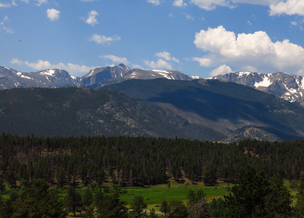
While the park isn’t older than the hills, it is older than the National Park Service. Rocky Mountain was designated a year before that agency was created back in the days when the parks were administered by the army. Denver’s proximity is both blessing and curse. It’s a park easily reached by a lot of people, which means it is visited by a lot of people; only three parks had higher visitation in 2016. Seeing the appeal doesn’t take long, however, and fortunately there is an abundance of room to absorb everybody.
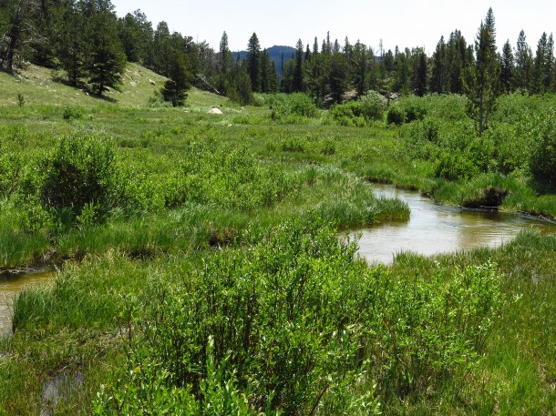
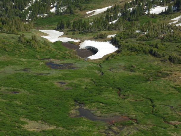
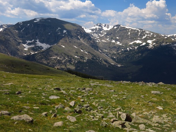
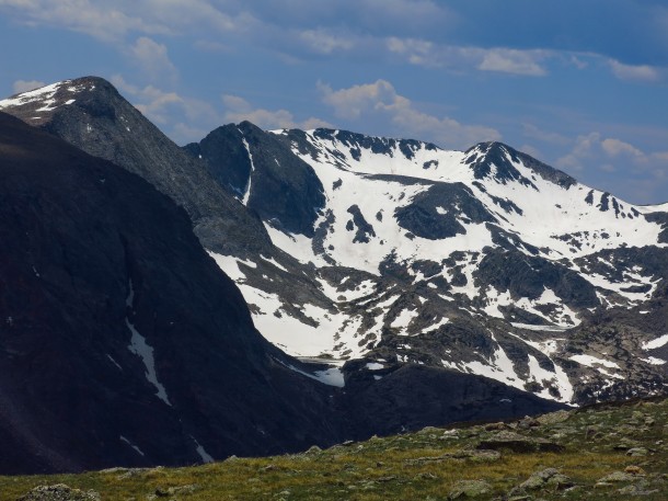
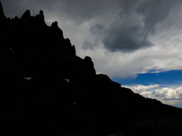
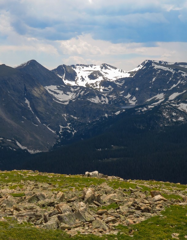
Encompassing 6,399 feet of elevation, the park is a simple combination of the geological forces that thrust this mass of rock towards the sky, and the wind and water that shape them afterwards as ice and snow melt and rush down until collecting in a lake or meandering through a verdant meadow.
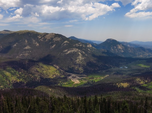
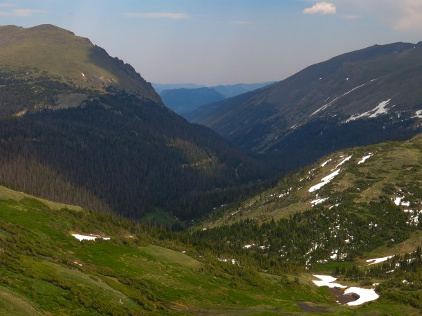
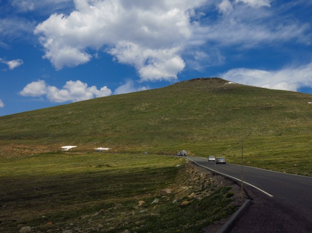
Fully appreciating most national parks requires exploring beyond the confines of the automobile, but there are some exceptionally scenic drives scattered among these jewels. Glacier’s Going to the Sun Road comes to mind, as does the Blue Ridge Parkway, and Trail Ridge Road in Rocky Mountain absolutely qualifies. Some paved roads in the US reach higher elevations, but dead end and require returning to the start. Trail Ridge Road is the nation’s highest through road at 12,183 feet (the steeper, single lane, gravel Old Fall River Road, rising from Estes Park before connecting with Trail Ridge, was not yet open on our visit).
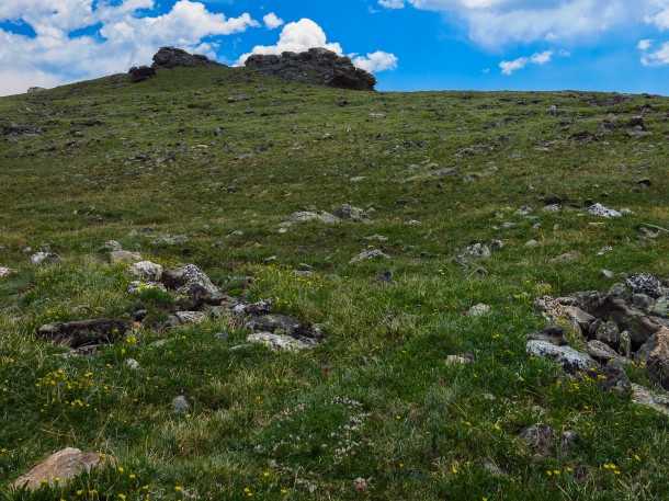
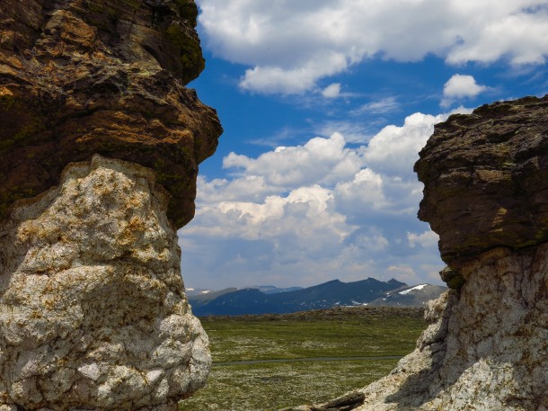
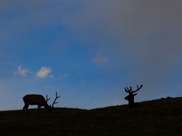
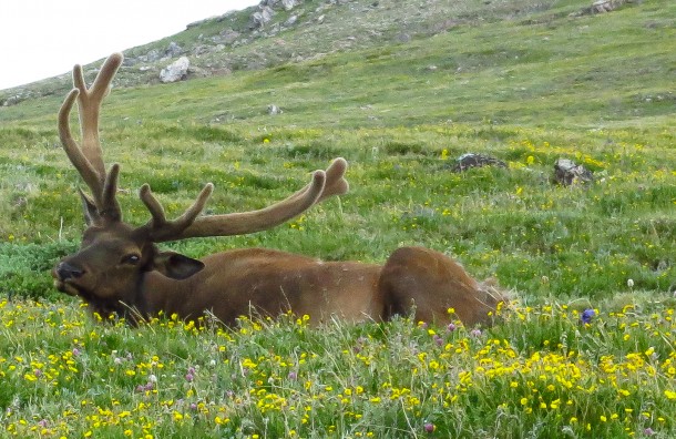
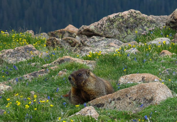
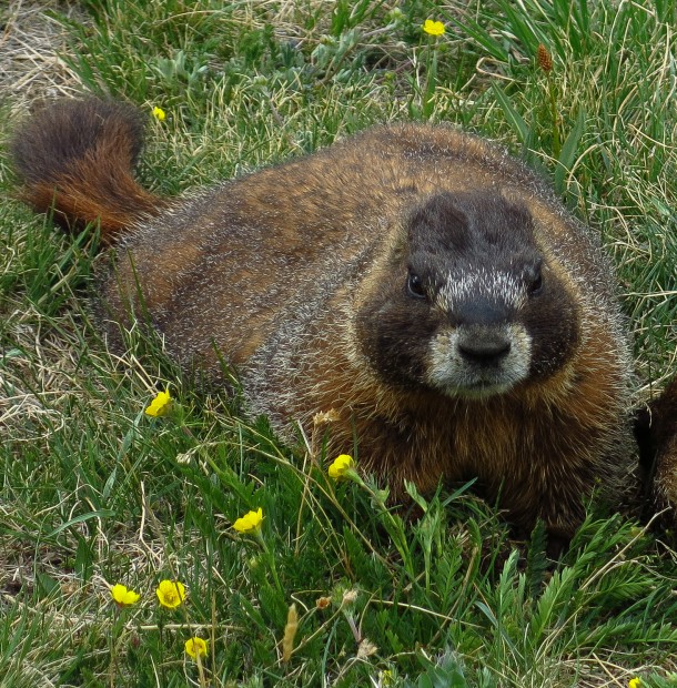
Many pullouts line the 48 mile length affording numerous opportunities to stop and walk tundra traversing trails, scrutinize some wind sculpted hoodoos or observe wildlife like elk and marmots (both of whom have bountiful nutrition within easy grasp in all directions, but I’m sure they appreciate the concern).
It was easy to spend the better part of the day sharing the Trail Ridge Road with all those tourists, but many of us need to have a more personal relationship with the landscape, and the following day found us with full water bottles, well stocked packs, sturdy soles and hearty spirits at the trailhead for Sky Pond. A few miles down the road is the exceptionally popular Bear Lake parking lot and stepping off point for a variety of hikes. Arriving there by 8AM may be too late, although the Full signs appeared to go up before every space was claimed. In late June many of the higher elevation trails still carried deep snow, and we would need to traverse a few small patches on the journey to Sky Pond.
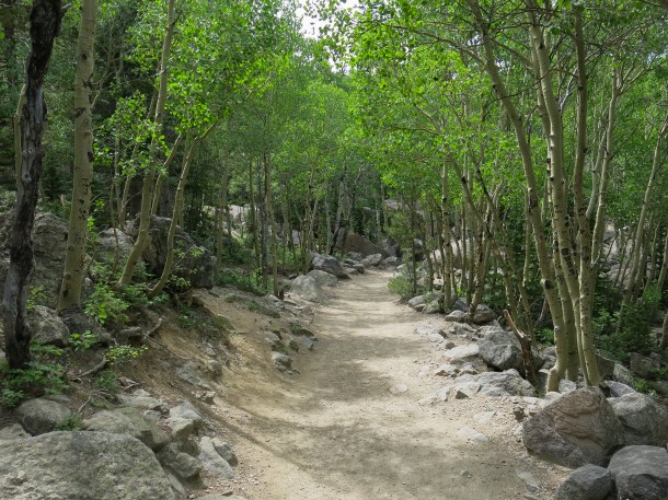
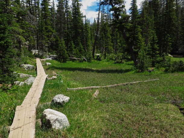
Like our hike into the Black Canyon, we were facing an elevation change of about 1,800 feet, but spread over more than 4.5 miles instead of just one. After nearly two weeks in Colorado, we were also becoming accustomed to the higher altitude. So compared to the Black Canyon this was practically a kindergarten field trip going through aspen groves, gentle grades, occasional steps, boards covering the moister areas, and a waterfall climb that wasn’t too high (wait, that last one can’t be a real thing, can it?).
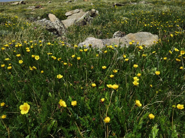
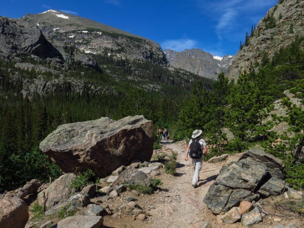
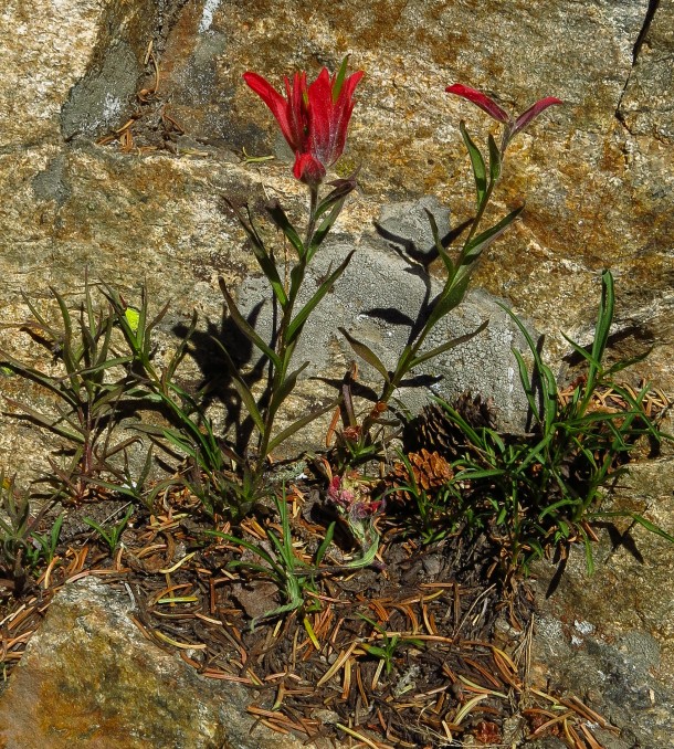
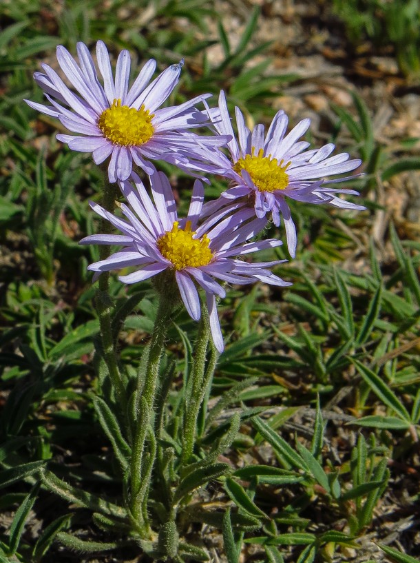
The route ascends a gully surrounded by sheer rocks while funneling water from Andrew Glacier above Sky Pond through a series of lakes, streams and cascades below. Less than a mile in, Alberta Falls appears, and moving water always seems refreshing just because of its presence. The sky was blue, pine scented air was never too hot or cold, and wildflowers were emerging to capitalize upon their brief growing window in the midst of it all.
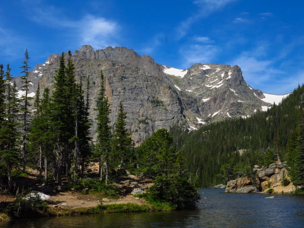
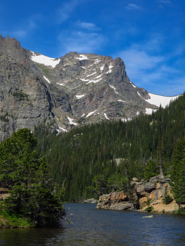
Loch Vale, known simply as The Loch by the kids at the cool table, is a worthy destination by itself, and is a great spot to take a break, with half of the distance already covered.
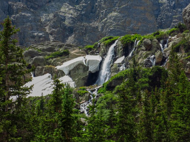
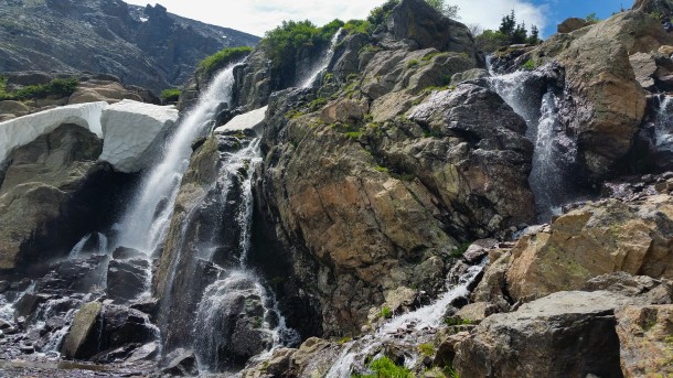
Refreshed and invigorated by our progress, we pressed on, the final wall clearly visible, but the lakes below still out of view. Directly, Timberline Falls came into view; somewhat larger than Alberta, the drama was enhanced by lingering snow, and by cresting the actual timberline, the drama unfolding beyond in all directions.
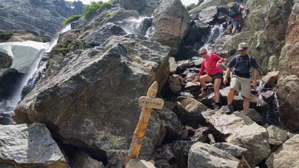
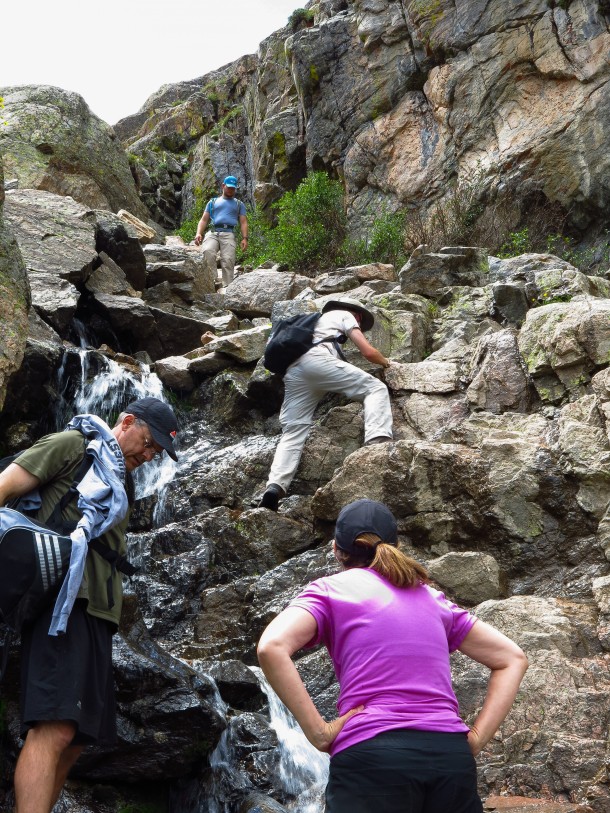
So from here we follow the sign to Sky Pond, and…..son of a gun, it does require climbing a waterfall!
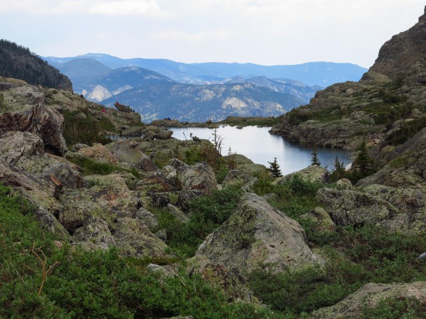
Not intending to brag, but your humble narrator is a bit of a visionary, a forward thinker if you will. Using The Sight, I could see that a future that included climbing up a waterfall was a future that would subsequently involve climbing down a waterfall. Colin scrambled up as I scoped out the lay of the land, and observed those sharing the trail with us. Spotting a way that seemed marginally less treacherous than my initial inclination, I soon followed, quickly topping out and arriving at the Lake of Glass, perfectly named in my mind as I glanced back while continuing forward.
The closer the goal, the more energetic the hiker, until, voila Sky Pond.
The first drop of rain was felt two minutes later.
Parking assurance isn’t the sole reason for an early start round these parts when afternoon thunderstorms require consideration. And we heard the first crash of thunder about two minutes after that. This is not an ideal situation, with no convenient, high capacity 4D attraction to duck into as can be done in Orlando. Colin formulated a strategy predicated upon a high speed run back to the car. While sympathetic to that position, and grasping the gravity of our predicament as evidenced by the hairs on my arms standing more stiffly than a wire brush, I was inescapably drawn back to that vision from prior, happier, less life threatening times. Although a broken leg at the waterfall’s base may exceed being struck by lightning on the desirability scale, both are exceeded by activities like returning safely to the hotel to enjoy some cookies, a refreshing beverage, and not being fatally enveloped by a massive amount of electricity.
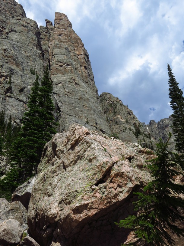
Passing the Lake of Glass meant being marginally less exposed, so we took the lead of others sharing our predicament and took shelter under area boulders. By no means was this ideal, either, but it did provide a dry vantage point for observing the pea sized hail that followed. The rumbles seemed to be moving along, or at least we wanted to believe that. The way that the sound was echoing between the cliffs made it hard to pin down. Fortunately it was over as quickly as those Orlando storms, and we all emerged safely from our lairs.
The car was reached without further incident. The following day saw us at a trailhead along the Trail Ridge Road, the start of a downhill hike slotted to end when we reached my wife waiting in a low elevation parking lot. The feeling was that even if another storm made an appearance, we would be well into the trees by then, and wouldn’t have any heavy concerns other that how quickly we could don our rain gear.
And we heard the first crash of thunder about two minutes after that.
We now have a strict policy regarding one way hikes wherein our driver will not depart the trailhead immediately, but we also clearly recognized that it would not be relevant to our current predicament. Oh, sure, the rain gear was dutifully deployed, but we had a sense that this was no brief interlude, but rather a rain that was settling in for a while. Perhaps the karma reward points I’ve accumulated by collecting bit of trailside rubbish, not treading on the tundra nor feeding the marmots had meant reaching platinum status and qualifying for rescue. We both feel that college professors-led families from Virginia are some of our nation’s finest people with the intelligence to understand that declining a towel because I could easily drop my pants to sit in the back of the van did not extend beyond my rain gear. Everyone had a nice ride down the mountain with pleasant conversations and a story for all to tell.
That’s travel for you. At any moment the road can be closed, the weather can turn or the roller coaster can go down. The ability to roll with it can go a long way towards how one sees it afterwards. If missing a hike and only slightly nearly being struck dead by lightning over a two week period is the worst that happens, then file it under successful.
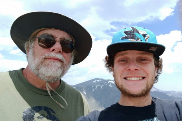
Thus the circuit of Colorado’s National Parks comes to a successful end. The four parks represent a microcosm of all the parks around the country and the diversity within them. Colorado has much to offer, the view through the windshield at any given moment is often postcard perfect, and is filled with a cornucopia of opportunities for hiking, rafting or biking. Thanks for coming along (photo by Colin Ricketts).
For more information about Rocky Mountain National Park go to www.nps.gov/romo For an excellent hiking resource go to http://www.rockymountainhikingtrails.com/












You must be logged in to post a comment.